Pages
Page 11
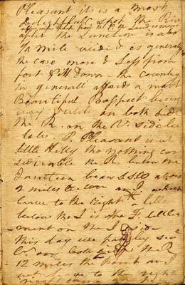
Pleasant [its?] is a most Delightfull spot the River [insert- a [few?] miles back from the P. the Land is [?]] after the Junction is abot 1/4 mile wide & is generaly the case more & Less from fort Pitt Down - the country in generall affords a most Beautiful Prosspect being [very fertile?] on both sides the R. on the N. side [?] [?] P. Pleasant is at little Hilly tho nothing con siderable the R. below the Junction bears S.S.W about 2 miles below an I. which leave to the right a litle below the I is the F. [?] -ment on the I side This day we past by [?] [Cr? (Creek?)] on both sides the R 12 miles the point and I wt leave to the right night came on [?]
Page 12
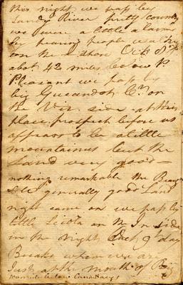
this night we pass by sndy River pretty country we were a little alarms by hearing people walking on the I shore Oct 8th abot 42 miles below P. Pleasant we pass by big Gueandot Cr on the [?] side at this place prospect before us appears to be a little mountainus but the Land very goodnothing remarkable the Beach side generally good Land night came on we pass by little Sciota on the In side in the night Oct 9t day Breaks when we are Just at the mouth of Big [?] below Canaway
Page 13
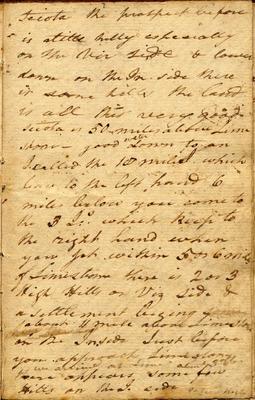
Sciota the prospect before is alittle hilly espesially on the [Vir?] side & lower down on the In side there is some hills the land is all this very good Sciota is 50 miles above Lime stone- good water down to an I called the 18 mile which leave to the left hand 6 miles below you come to the 3 [I:s? (Islands?)] which keep to the right hand when you get within 5 or 6 miles of Limestone there is 2 or 3 High Hills on Viz side & a settlement beging about 11 mile above Limestone on the Inside Just before you approach Limestone, [insert- we arrive at Lime about 3 oCloc] there appears some few Hills on the I. side [on ? night?]
Page 14
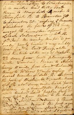
[insert- Sunday 10 states?] from Limestone to Washington is 4 miles bad Hilly road thence to Mays Lick 4 miles to Blue Lick 12 to Baurbon 20 to Limestone 20- crossing 3 branches of Licking the forks of Elk from wagot to Limestone about 2 oClock saturday night the 9th Oct the country this far is gen erally poorly timberd & very muddy from Limton to [Curd?] Ferry, at the across Kentuck at the mo of Dicks R. 22 some poor land places pretty well Timberd. thence to Harrod burgs 11 miles poor land but muddy thence to Wilson 27 miles crossing several branches of Salt R. between the fork of Chaplain Cr & another branch of S. R abot seven miles back from Wilson is a beautifull tract of well timberd Land poplar Ash &c very rich from Wilson to the [?] fork is abot 13 miles thence to Beards town 7 miles thence to the fork again [?] Beards Town stand in the Bend of the Cr wh is about 51 yds [wide?]
Page 15
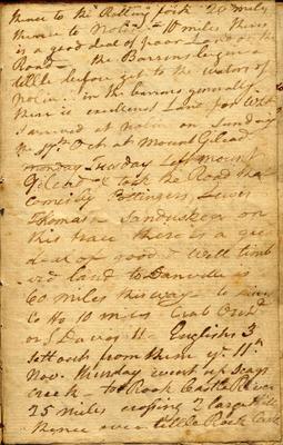
thence to the Rolling fork 20 miles thence to Nolin 10 miles theres is a good deal of poor Land on the Road- the Barrens begin a little before get to the waters of Nolin. in the barrens generally there is excellenct Land for wht I arrived at Nolin on Sunday the 17th Oct at Mount Gilead Monday Tuesday Left Mount Gilead & tooke the Road that comes by Pottingers, Lewis Thomas- Sanduskey on this trace there is a great deal of good & well timb -erd land to Danville is 60 miles this way- to [lines?] Co Ho 10 miles Crab Orchd or S Davis 11- Englishs 3 sett out from thence ye 11th Nov. thurday went up Scags Creek- to Rock Castle River 25 miles crossing 2 large Hills thence over little Rock Castle
