Pages
Page 6
of the river bears here N N W since the morning we pass By [domes?] go creek emptying from the In. side the Country appears to be generally mountainous tho not more remark ablee high- we soon pass by another I. which bears to the Left Right & another sand bank a few miles below which leave to left Beautiful bottoms here down to Buffaloe On 45 miles below Fort Pitt night came on - & lay by all night
Oct 4th a few miles below Buffaloe 3 Isls chanl on either side of them the Virginia side the most direct- a few miles below we leave an I. to the Right a few miles further an other I. good on
Page 7
both sides the left hnd channel goes by [what?] 15 miles below Buffaloe beautiful generally all the way down farther down a few miles apart two I. which leave to the right bear right came or continued to sail pass ing by two I which leave to the left ^&c day breaks. Oct 5th we pass by 2 I. leave to the left beautifull bottom, most of the way since night as well as we could see & so in the morn 4 I. near together which lay to the left hand Log Cr. making in from the In.
Page 8
side keep pretty close to the 4th I. leaving it to the Left [inserted- In those] another I. close by which appears to have two good channels as it first appears leave it also to the left Hand the Land here abouts [inserted- Sir William] is rather Hilly contining Hilly a little & fine bottoms passing by ^one I. channel on each side but the right hand is best- beautif bottoms wt a few Hills- passing long you come in sight of 2 I. wt a beautiful prospect course bearing So. W three Channels all in View Keep the middle channel the at the lower end of this channel stands another I. which leave to the right Hand tho both channels are good this is as you draw the Muskingam settlements here night came 90 miles above Canaway
Page 9
Oct 6th about 5 or 6 mies beow an I. called muskingum I. right hand channel is best after you leave muskingum you fall in wt another I. which leave far to the left & keep pretty close to the Indian shore. you pass by another [insert- here is [balfreo?] settlement 16 [miles?]] I. which leave also to the left [insert- can't decipher it] then you pass by 3 other small I. which leave to the right also then another leave to the right another I hard by but the right hand channel is best beautifull bottoms all the way as low as ever have yet gone, you pass by Belville town on the [Vir?] side & several Houses on the In. side till you get down here beautifull bottoms after you left Bellville Town [your? ? ?] an I. wt leave to the left a little on
Page 10
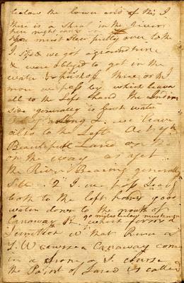
below the lower end of this I. there is a shoal in the river [insert- here night comes on] you must steer fully over to the I. side we got aground twice & were obliged to get in the water & push off three or 4 I. more we pass by which leave all to the left hand the [Indian?] side generally is best water
Oct 7th a Long I. we leave also to the Left Oct 7th Beautifull Land on the on the way as yet the River Bearing generally S. W. 2 I. we pass Leavg both to the left hand good water down to the mouth of Canaway R. ^90 miles below muskingum [whert? (short for 'where it'?)] forms a Junction wtthat River a S. W course Canaway [comes?] in a from a S. course the Point of Land is called